
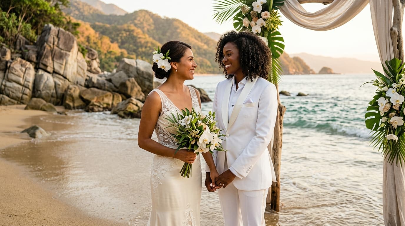
The Science of Shoreline Luxury: Hydrology in Banderas Bay
Beyond the romantic allure of gentle Pacific surges and golden sands, orchestrating an elite beach ceremony in Puerto Vallarta requires meticulous hydrological spatial planning. Banderas Bay is a dynamic coastal ecosystem where dramatic mountain topographies meet complex Pacific currents. For ultra-luxury weddings along Jalisco’s coast, flawless execution hinges on understanding how lunar cycles, tide tables, and micro-regional shoreline geometry dictate the usable footprint of the beach. Moving past generic sunset timing allows luxury wedding planners to unlock hidden coastal pockets, guarantee guest safety, and capture pristine beachscapes unaffected by rising sea levels.
Tidal Chronology: Navigating Spring Tides and Lunar Phases
The gravitational pulling force of the moon creates significant fluctuations along Puerto Vallarta’s shoreline. During full and new moon phases—known as spring tides—the variance between high and low water lines along Banderas Bay can reach up to 2.5 meters vertically. On gently sloping beaches, this vertical shift translates into tens of meters of horizontal sand displacement.
Designing a luxury shoreline layout during a spring high tide without spatial mapping risks compressing guest seating against coastal vegetation or granite cliffs. Conversely, aligning your ceremony during a neap tide (the quarter-moon phase) offers predictable, stable water lines with minimal tidal drift, creating an expansive canvas for high-fashion layouts.
Seasonal Sand Dynamics: The Pacific’s Annual Coastline Migration
Puerto Vallarta’s coastline undergoes a continuous, natural transformation driven by seasonal swells and mountain runoff. Understanding these environmental shifts ensures that your chosen venue offers optimal shoreline conditions on your wedding day:
- The Winter and Spring Swells (November to April): Characterized by crisp dry-season breezes and long-period ocean swells from the northwest, this period deposits deep, fine-grained golden sand along the southern coves of Mismaloya and Punta Negra. Beaches expand to their maximum width, offering broad, level surface areas perfect for grand ceremony setups.
- The Summer Monsoon Shift (May to October): Tropical rains feed river basins, sending nutrient-rich waters into the bay while southerly wave patterns scour certain narrow coves. During these months, pocket beaches like those in Amapas or lower Conchas Chinas experience temporary narrowing, making real-time shoreline elevation checks essential before finalizing spatial schematics.
Micro-Zone Analysis: Matching Shoreline Topography to Ceremony Scale
Every beach zone within Puerto Vallarta exhibits distinct geographic traits that influence layout density and guest circulation:
1. South Shore Pocket Coves (Punta Negra, Playa Gemelas, Mismaloya)
Framed by lush jungle-draped cliffs of the Sierra Madre, these intimate coves offer striking privacy and dramatic emerald waters. However, their physical boundaries are strictly defined by high granite rock formations. Planners must calculate the exact sea level during the ceremony window to maintain a minimum 15-meter buffer between the ocean surge and the front row of guest seating.
2. Amapas and Lower Conchas Chinas Shorelines
Famous for dark volcanic rock outcrops and crystalline tide pools, these beaches require micro-topographical mapping. Ceremony layouts here must utilize natural sand corridors between rock formations, creating an organic, intimate sanctuary that feels carved directly from the coastal landscape.
3. Northern Bay Sands (Marina Vallarta and Northward)
Featuring expansive, wide-format golden sand stretches and gradual drop-offs, the northern shoreline provides immense spatial flexibility. These locations accommodate larger guest counts effortlessly, though planners must account for open coastal exposure and higher ambient wave noise by orienting the ceremony footprint strategically.
Mastering the Timeline: Cliff Shadows, Sun Angles, and Shoreline Light
In destination wedding hubs like Puerto Vallarta, light is as critical a structural element as physical space. The towering Sierra Madre mountains running along the South Shore create localized solar occlusion. In exclusive coves like Playa Gemelas, the sun dips behind mountain peaks up to 45 minutes earlier than it sets over the open horizon in Marina Vallarta.
To capture the iconic golden hour glow, timeline design must synchronize local mountain shadow progression with low-tide windows. Scheduling guest arrival precisely 60 minutes before mountain sunset ensures guests enjoy pleasant ambient temperatures without harsh direct sunlight, while granting photographers optimal natural fill light across the wet sand reflection zones.
Synthesizing Heritage with Coastal Geography
An elevated beach ceremony in Jalisco seamlessly blends natural splendor with rich cultural authenticity. Luxury couples often complement their coastal setting with meaningful Mexican traditions tailored to the oceanfront:
- The Ceremonial Lazo: An elegant floral or double-rosary cord placed over the couple’s shoulders in a figure-eight, symbolizing infinite unity against the backdrop of the Pacific horizon.
- El Símbolo de las Arras: The presentation of thirteen gold coins, representing shared prosperity, traditionally blessed in a local chapel before being exchanged under the open shoreline sky.
- Elements of Local Land Blessing: Incorporating subtle ancestral honoring rituals—such as facing the four cardinal directions to pay homage to the sea, earth, wind, and sun—anchors the celebration deeply into the spirit of Banderas Bay.
When executing a legally binding civil ceremony on Puerto Vallarta's sands, couples must work with the local Registro Civil office. Civil judges conduct the official marriage decree on site, requiring mandatory pre-marital health screenings and certified translations completed within the state of Jalisco prior to the beach vows.
The Art of Precision Shoreline Planning
Creating an extraordinary luxury beach wedding in Puerto Vallarta requires moving beyond standard aesthetic choices to master the environment itself. By uniting precise tidal chronologies, mountain shadow mapping, and respect for regional coastal topography, luxury planners craft seamless shoreline celebrations that feel both effortless and majestic. When ocean science meets bespoke event design, your Banderas Bay ceremony becomes an enduring masterpiece framed by the timeless rhythm of the Pacific tide.